SATURDAY MAY 19, 2012
Maps
The Grants Pass rock club has invited members of the Rock & Arrowhead Club to join them on a field trip to their rhodonite claims located near the Oregon Caves. The Roseburg club has also been invited.
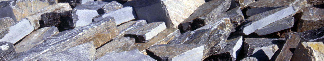
The name is from the Greek word rhodon, meaning “rose” in reference to the minerals usual color. Rhodonite is used as an ornamental stone and gemstone, with a mohs hardness of 5½ to 6. It has a distinctive pink or flesh-red color and can be brownish red. Exposed rocks may tarnish brown or black.
Anyone interested in going should plan on meeting where the trail into the dig site leaves Highway 46 at 9:00am, Saturday, May 19. The meeting location is not specific, but is one or two miles westerly of the Oregon Caves and will be marked. It is a ¼ mile side hill walk to the dig site, so wear appropriate foot wear. In any event there should be quite a few vehicles parked at this location.
To get there, take Exit 55 off the freeway into Grants Pass, then Highway 199 from Grants Pass heading toward Crescent City. At Cave Junction, 32 miles from Grants Pass, take Highway 46 east to the meeting place, this is where the trail to the dig site starts. The map shows 18 miles to the Oregon Caves, so the meeting location should be close to 15 to 17 miles from Cave Junction. It is approximately 3 hours driving time from Klamath Falls.
It will cost $20.00 per person to take material from the site, or you may join their club for $20.00 and take material. The material will be loosened with a jack hammer and wedges, folks will have to stay out of the way until told that it is O.K. to pick up the material. My understanding is that each person will be assigned a number and that will be the order that will be used for filling the buckets. There will be a maximum of one five gallon bucket per person, and you need to bring your own bucket. There is no cost if you just want to watch, but you can’t take any material from the site.
Please dress appropriately, good foot wear, long sleeve shirts, regular pants (no shorts or cut offs), and a hat. Bring a lunch, something to drink (water, juice, no alcohol at dig site), and bug repellant. There is poison oak in the area so be prepared to cope with that if you get it on you.
The map shows two campgrounds along Highway 46. From Cave Junction, Grayback campground is about 11 miles, and Cave Creek about 13 or 14 miles. Neither one has hook-ups.
Chuck will be leading the field trip and you can get more information at the May meeting or call him at 541 892-7486.
Marv Stump